GEOGRAPHIC INFORMATION SYSTEM
Specializing in a wide range of commercial, residential and public sector projects.
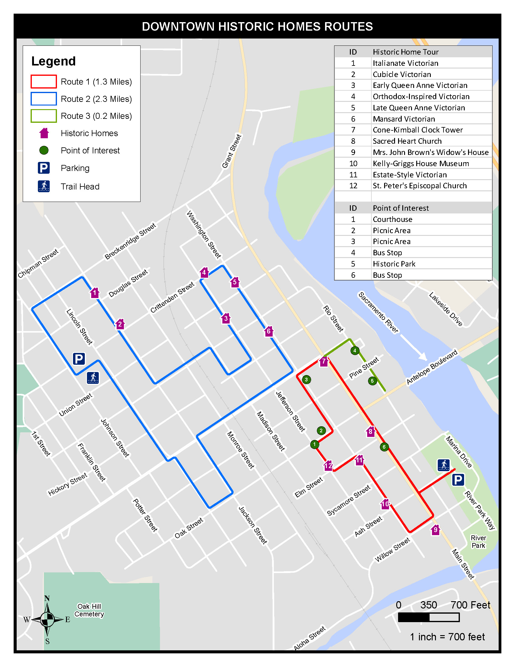
GIS experience includes maps and databases for wetland delineations, biological and botanical surveys, biological assessments, National Environmental Policy Act (NEPA) and California Environmental Quality Act (CEQA) documents, vegetation monitoring, habitat assessment, noxious weed mapping, sensitive resource impact analysis, resource damage assessment, regulatory permit applications, urban walking maps and wildfire defensible space maps.
GIS
A geographic information system (GIS) is a system that creates, manages, analyzes, and maps all types of data. GIS connects data to a map, integrating location data with descriptive information. This provides the foundation for mapping and analysis used in the AEC industry.
